-
EWM Group's
CFEST integrated technologies were used for
uploading site geologic, hydrologic, chemical, and
other types of information.
-
Integrated
GIS and CFEST tools were used for input
preparation.
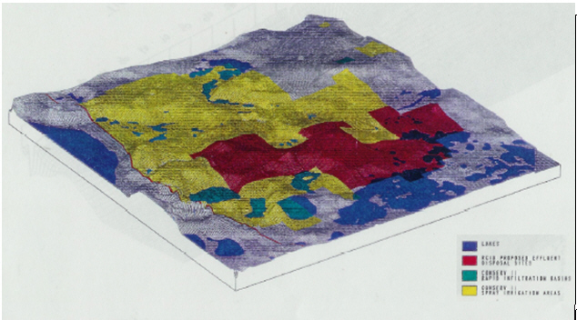
-
A detailed
local-scale model of each RIB was developed for
accurate estimates of fluid and mass balances of
each basin contribution to surface water bodies
and aquifers.
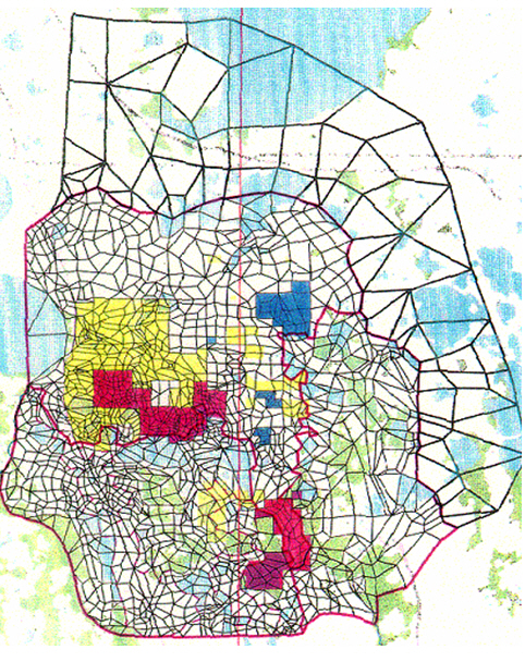
-
External
boundaries were extended by using large elements
to minimize impact of boundary conditions on the
evaluation of basin
performances.
-
EWM
integrated informative 2-D
and 3-D displays for project decisions